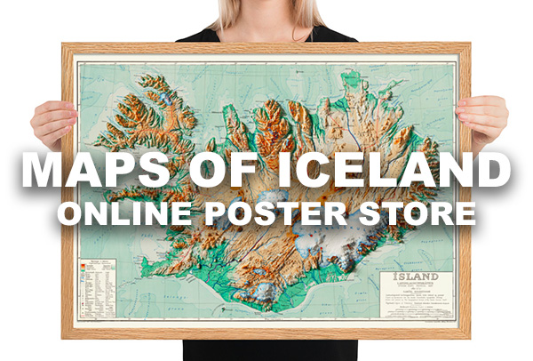
In this tour you can see various geothermal areas and geysers in Iceland, Seltún (Reykjanes peninsula), Gunnuhver (Reykjanes peninsula), Geysir í Haukadal (South West Iceland), Hveravellir (Highlands) and Hverarönd (North East Iceland). See a map of the locations below.
The western side of the Eurasian and eastern side of the North American tectonic plates form the northernmost part of the Mid-Atlantic Ridge which Iceland is located on. In a sense, it can be said that Iceland is a kind of bridge between continents due to this unique location on the Mid-Atlantic Ridge. The section of the ridge that includes Iceland is known as the Reykjanes Ridge. The ridge has an average spreading rate of about 2.5 centimetres (0.98 in) per year.
Geothermal areas can be found in various places in Iceland, mostly along the Mid-Atlantic Ridge. Iceland was formed from a magma pocket, otherwise known as “the Icelandic Hotspot”, which is a point on the earth where subterranean mantle is hotter and more active than the surrounding rock. Hotspots are independent of the position and movement of the tectonic plates, though Iceland sits at a noteworthy point regarding both features.
